@uncouver_
Instagram · Greenscreen Talking Head
@uncouver_ Alberta's INSANE divided highway crossings. #roads #driving

@uncouver_
Instagram · Greenscreen Talking Head
@uncouver_ Alberta's INSANE divided highway crossings. #roads #driving
Performance
Video #37519 · Greenscreen Talking Head
[01]
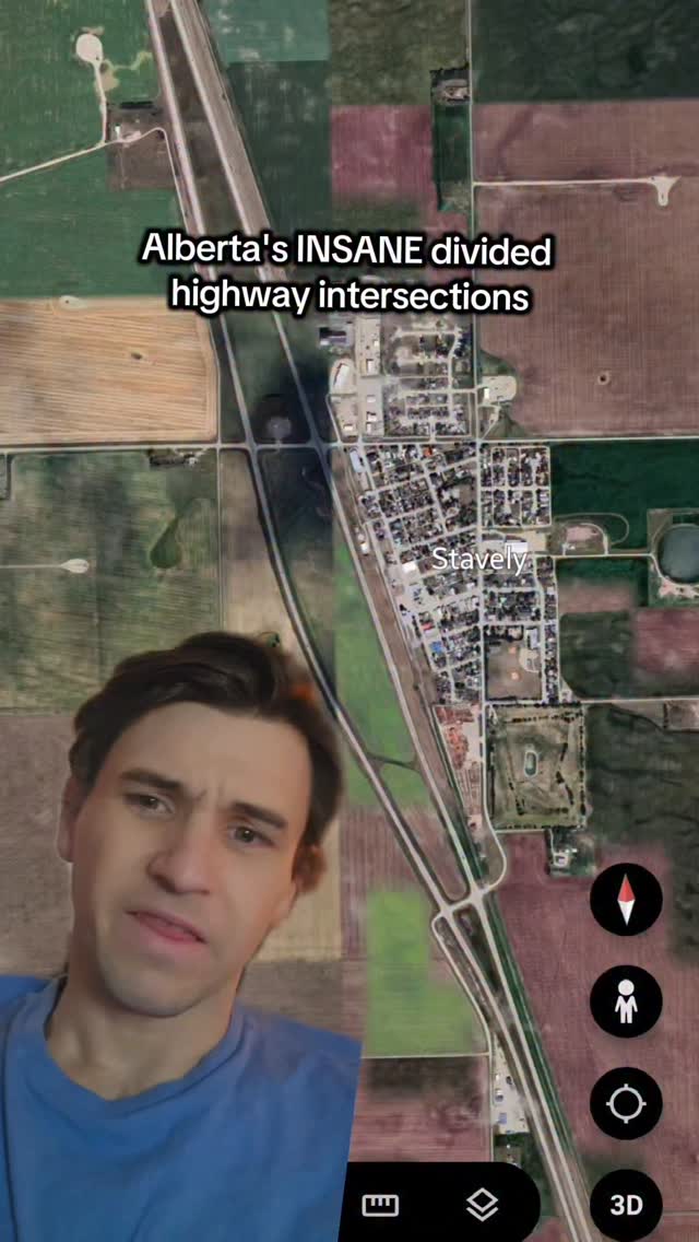
The creator explains why a specific type of rural divided highway intersection in Alberta is extremely dangerous. He uses Google Maps satellite and Street View footage to demonstrate the confusing and hazardous layout, where a driver must cross high-speed traffic after a short connecting road, and questions the flawed infrastructure design.
[02]
[03]
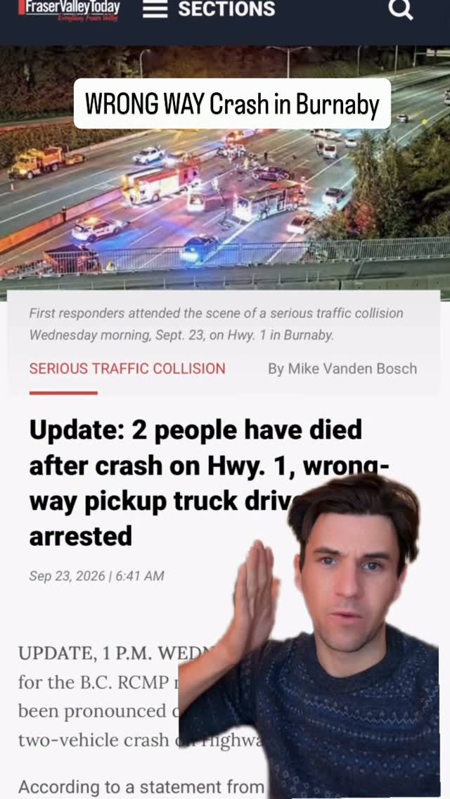 274.8K22.5×Creator's theory on wrong-way crash@uncouver_ · Breakdown
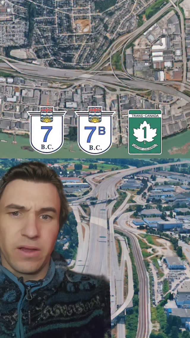 104.8K5.2×Highway interchange sorts social class@uncouver_ · What Your X Says About You
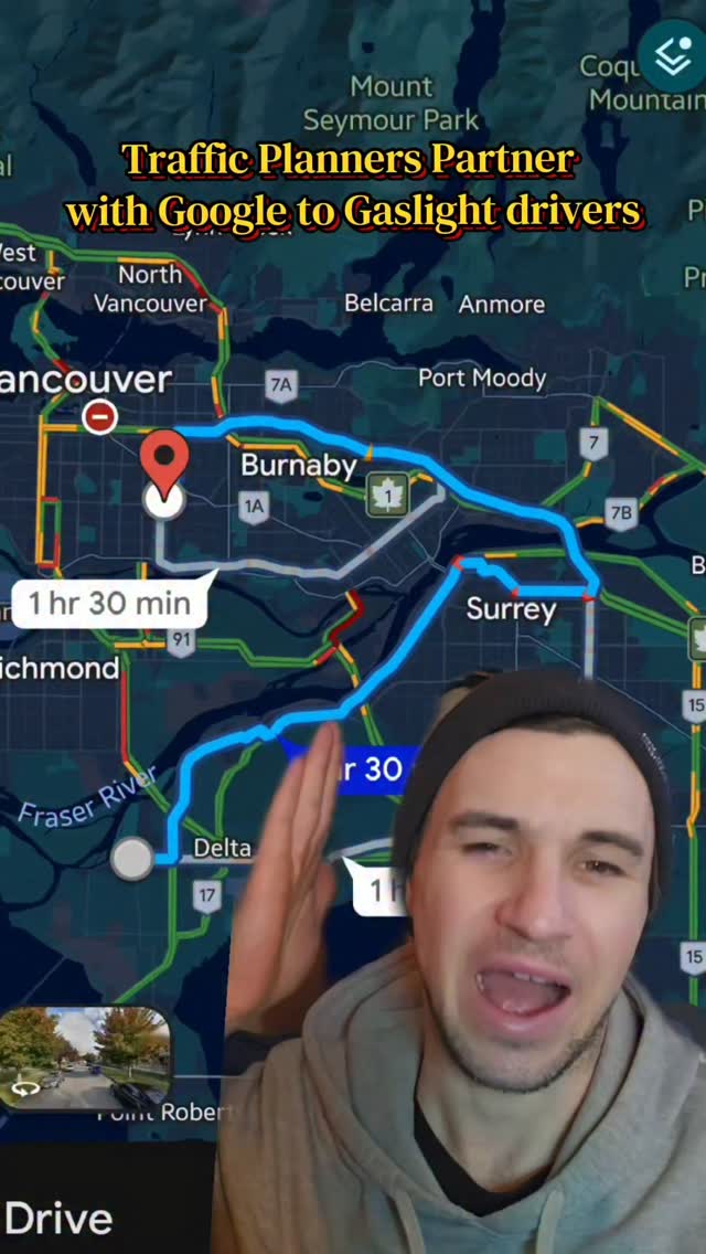 117.2K9.1×Creator rants over map screenshot@uncouver_ · Hot Take
 2MComedic skit on bad freeway design@aka__vinnie · Skit
 1.7MSatirical design process for parking lot@aka__vinnie · Skit
 96.7KConstruction update answering user comment@utahtransportation · Explainer
 146.1K5.2×Vintage news clip of neighborhood argument@uncouver_ · Candid Conflict
 901.2KSatirical documentary on city design@goodworkmb · Satirical Expertise
 473.7KSatirical airport design process explanation@aka__vinnie · Satirical Advice
 462.1K198.3×Satirical urban planning design process@aka__vinnie · Satirical Expertise
 575K242.7×Satirical design of an airport@aka__vinnie · Satirical Expertise
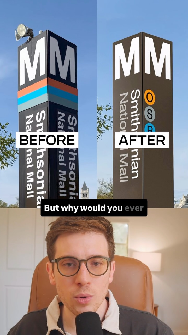 408.6K2×Creator critiques public transit design@ryanselvy · Good vs Bad
[04]
[05]
What stops the scroll in the first 3 seconds
Title hook · 55%
Alberta's INSANE divided highway intersections
Verbal hook · 25%
These type of rural highway intersections,
Visual hook · 20%
A satellite map view of a rural town and highway, with the creator's face overlaid in the bottom corner, creating an immediate informational context.
[07]
The promise the opener makes, and how the video pays it back
Hook
A high-stakes, emotionally charged declaration that a familiar thing is secretly and shockingly dangerous, often with a life-or-death framing.
Payoff
A final, emphatic restatement of the core danger and a declaration of incredulity at the flawed design, leaving the audience with a strong emotional takeaway and a sense of unresolved concern.
[08]
The structural pattern this video runs on
Framework
The Everyday Danger Deconstruction
To expose a hidden, counter-intuitive danger in a common, everyday system or object by breaking down its flawed mechanics from both a macro (system-level) and micro (user-level) perspective.
The High-Stakes Thesis
State a provocative, life-or-death claim about a seemingly mundane topic to establish immediate stakes and hook the viewer.
The Anomaly Explained
Use a high-level, objective view (like a map or diagram) to introduce the core physical oddity or design flaw that is the source of the problem.
The Context Setter
Establish the environmental constraints and typical user actions that make the design flaw hazardous in practice.
The Danger Zone Reveal
Isolate the specific, counter-intuitive moment or segment of the user experience where the danger manifests, often by switching to a first-person perspective to increase immersion.
The Psychological Trap
Explain the cognitive error, misperception, or flawed assumption that the design encourages, leading to catastrophic failure. This is often supported by quantifying the risk (e.g., speed, numbers).
The Unanswered Question
Pose a rhetorical question about the design's flawed logic, speculate on possible but inadequate justifications, and leave the core 'why' unanswered to create frustration and engagement.
Alberta's INSANE divided highway crossings. #roads #driving
title · throughout
Alberta's INSANE divided highway intersections
These type of rural highway intersections, Alberta, Saskatchewan, rank Manitoba have a ton of them, are so dangerous. They are killing people. You have a divided highway that for some reason, when they get to a little town like Staveley, each side of the divided highway kind of splits apart and leaves a bunch of room in the middle. Rank because this is a rural area, there's no there's no interchanges or anything. It's all just, you know, like tier grade crossings. So you have to make this left turn coming off of the southbound sound of the highway. The crucial part, you have to drive, you know, this little distance before you get to the other side of the divided highway that you have to cross at grade. I think it's really easy to confuse this stop sign, this intersection up here for like a local road or a frontage road where you don't realize that the traffic is coming at you at a 110, 120 kilometers an hour. It's really easy to misjudge this, and I rank this could happen to anybody. I don't know why Alberta does this where they size of divided highway spread apart like this. Is it to leave room for, like, traffic that's backed up trying to get into town? I maybe it's to leave room for, like, a for, like, an interchange at one point, like, maybe in the future, but I I highly doubt that Staveley is gonna be, like, a bustling metropolis anytime soon. I I don't know why people don't talk talk about this more because these are so dangerous. I don't know why they do this.