@binbinmarch
Instagram · Faceless

@binbinmarch 부재중 사유 ep.03 <세계지도의 비밀> 📬음성사서함을 확인하세요📬 #부재중사유 #책 #잡학 #알쓸신잡 #지식

@binbinmarch
Instagram · Faceless
@binbinmarch 부재중 사유 ep.03 <세계지도의 비밀> 📬음성사서함을 확인하세요📬 #부재중사유 #책 #잡학 #알쓸신잡 #지식
Performance
Video #48273 · Faceless
[01]
The creator presents a visual essay explaining that the world maps we are familiar with are distorted. Using a screen recording of 'The True Size of...' website, the video demonstrates how countries like Russia and Greenland are depicted as much larger than their actual size, while continents like Africa are shown as smaller. It then explains this is due to the challenge of projecting a 3D sphere onto a 2D surface, and discusses the sociological implications, suggesting this distortion reinforces a worldview where northern, powerful nations appear larger and more significant. The video concludes by encouraging viewers to question their perceptions and teases future content.
[02]
[03]
 179K9.8×Text-narrated vlog about art philosophy@isaacfrench_ · Anecdotal Philosophy
 901.2KSatirical documentary on city design@goodworkmb · Satirical Expertise
 140.1K33.7×Satirical city tour becomes home ad@felipe.freig · Showcase
 5.1M11.8×Aesthetic showcase of minimalist art@ameliecarrara · Vibe Showcase
 674K3.8×Satirical advice on skyscraper design@hansloreidesign · Comparative Guide
 3.3M3.6×Explaining synesthesia with friend examples@wacomo · Explainer
 117.2K9.1×Creator rants over map screenshot@uncouver_ · Hot Take
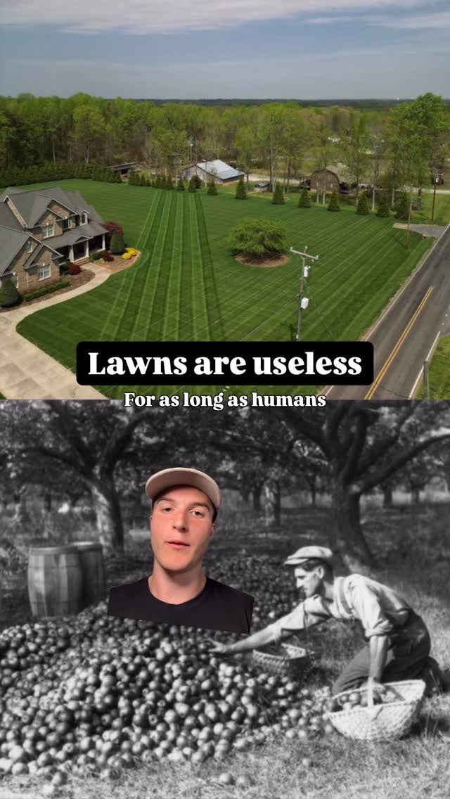 1.4M83.8×Greenscreen history of useless lawns@zephzoid · Advocacy Explainer
 572.9K10.6×Text hook then library montage@denny_dure · Vibe Showcase
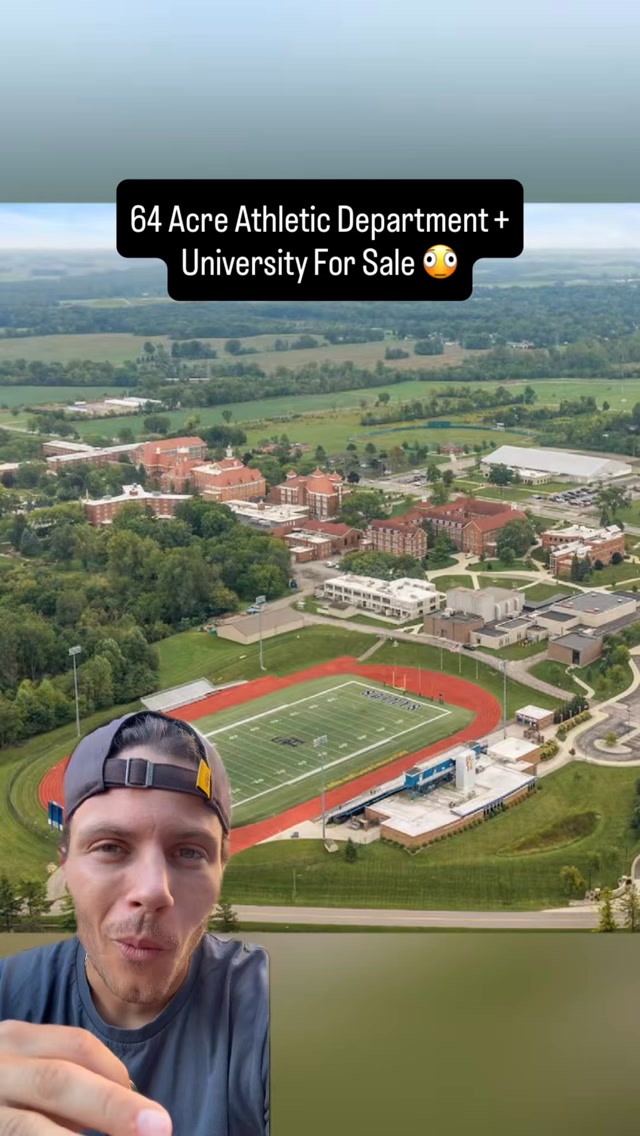 208.7K16.1×Creator pitches uses for university@dominyckb · Opportunity Explainer
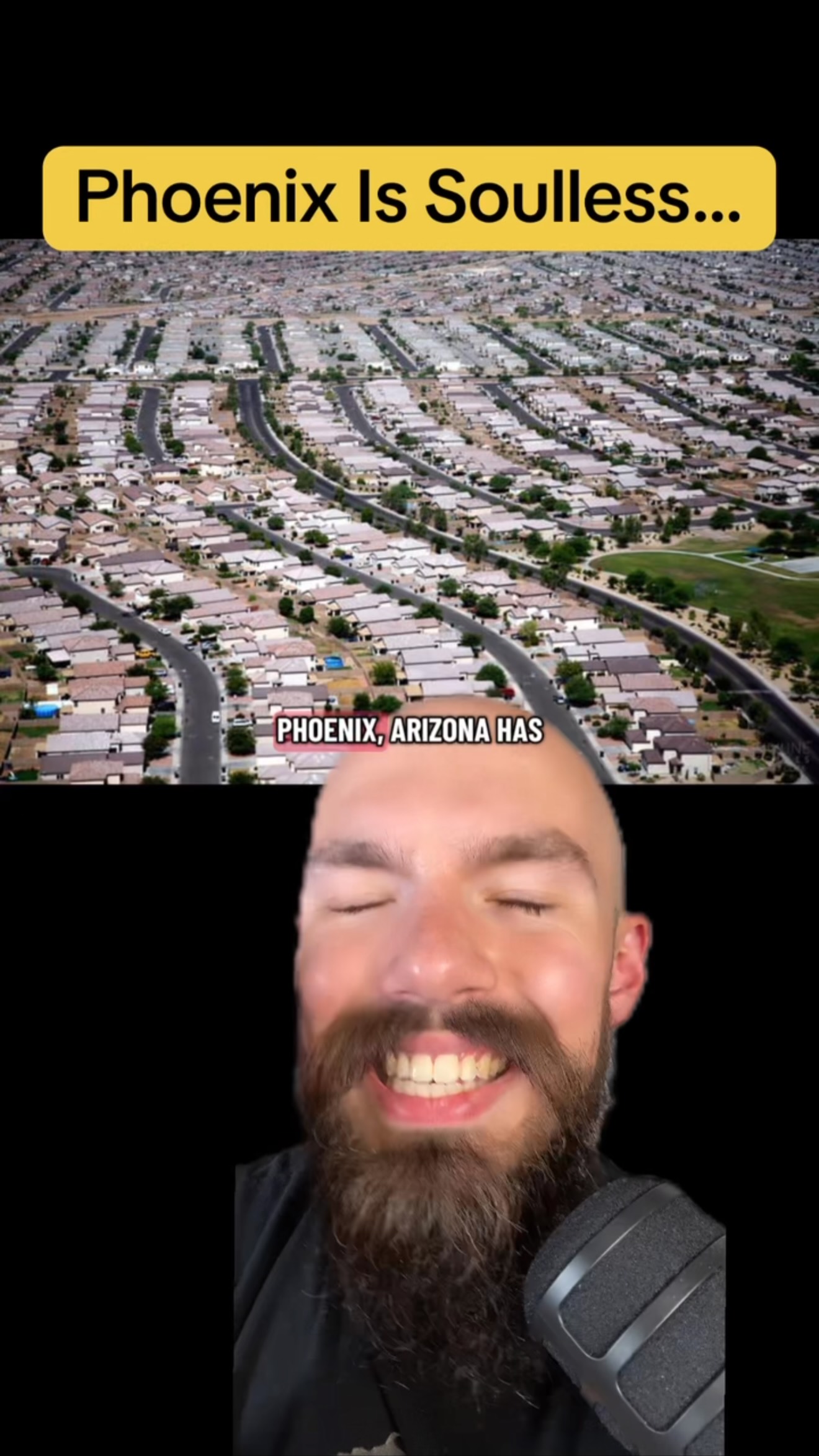 452.2K17.3×Satirical critique of a city's culture@the_life_professor
 139.1K35.7×Explaining old video game vibes@lukas.mullen · Nostalgia Highlight
[04]
[05]
What stops the scroll in the first 3 seconds
Title hook
실제 크기가 아니라면
Visual hook
A stylized, retro-themed shot featuring a person's leg in a black shoe propped up near a vintage red rotary phone and a Walkman, set against a textured, muted yellow-green background. The composition is artistic and unconventional, creating immediate visual interest and a distinct mood.
[07]
The promise the opener makes, and how the video pays it back
Hook
Present a familiar, universally accepted concept (a world map) and immediately pose a provocative question that undermines its perceived truth ('What if this isn't the real size?').
Payoff
The viewer feels they have been let in on a secret and are now equipped with a more sophisticated understanding of the world, prompting them to question other assumptions and share this newfound knowledge.
[08]
The structural pattern this video runs on
Framework
The Hidden Truth Unveiling
To deconstruct a universally accepted 'fact' by presenting a counter-claim, providing irrefutable visual evidence, explaining the underlying reason for the misconception, and finally revealing the deeper, often sociopolitical, implications of that misconception.
The Shared Premise
Establish a common ground with the audience by referencing a universally known idea or image that forms the basis of a shared understanding.
The Foundational Challenge
Introduce a disruptive 'what if' scenario that directly contradicts the shared premise, creating an immediate and compelling information gap.
The Revelation Engine
Introduce the specific tool, data, or method that will be used to investigate and prove the challenge, setting the stage for the evidence.
The Primary Demonstration
Provide the single most compelling and visually dramatic piece of evidence that supports the challenge, delivering the initial 'aha!' moment by showing the expected reality being distorted.
The Corroborating Evidence
Rapidly present a series of related examples that reinforce the primary demonstration and solidify the new reality in the viewer's mind.
The Inverse Proof
Demonstrate the core principle from the opposite perspective to eliminate doubt and deepen understanding, proving the rule is consistent.
The Causal Explanation
Explain the fundamental, technical reason why the initial common belief was flawed, satisfying the audience's logical curiosity.
The Deeper Implication
Connect the now-proven fact to a larger, more significant social, political, or psychological concept, elevating the topic's importance beyond simple trivia.
The Concluding Philosophy
Broaden the specific lesson into a universal principle or a call to action, encouraging a new way of thinking and questioning other perceived realities.
부재중 사유 ep.03 <세계지도의 비밀> 📬음성사서함을 확인하세요📬 #부재중사유 #책 #잡학 #알쓸신잡 #지식
title · beginning
우리는 이 지도를 보고 자랐죠
title · beginning
근데 이게 실제 크기가 아니라면
title · beginning
부재중 사유 음성사서함에 남아있는 이야기 ep.03 세계지도의 문제점
informational · beginning
나라를 드래그해서 비교해볼 수 있어요
informational · middle
러시아는 실제 크기는 남미랑 비슷한 수준이고요
informational · middle
그린란드도 마찬가지로 뻥튀기 엄청 돼 있음
informational · middle
아프리카가 러시아 위치로 가면? 이거봐 엄청 큼
title · middle
왜 이런 지도를 그리게 됐나?
informational · middle
평평하게 펴다 보니까(2d) 적도에서 멀어질 수록 땅이 부풀려지는.. 현상...
informational · middle
인류 역사에서 영토의 크기 = 힘의 크기
informational · middle
실제보다 크게 그려지는 북반구 나라들 (주로 강대국들이 많음)
informational · middle
실제보다 작게 그려지는 적도 근처 나라들 (아프리카, 중앙아시아, 남미)
informational · end
어린이들 머릿속에는 큰 나라는 크게, 작은 나라는 작게 인식되죠
informational · end
의도했든, 아니었든 왜곡된 크기로 세계의 힘을 무의식 중에 학습하며 자란 셈이에요
informational · end
지도는 '사실'처럼 보이지만 하나의 '관점'일 뿐이고 도법도 다양하죠
call-to-action · end
그럼 또다른 아름답고 쓸데없는 이야기들로 찾아올게요!